|

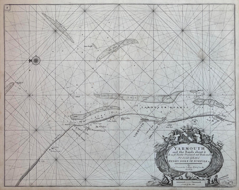
YARMOUTH by Captain Grenville Collins c1693
Fine 17th century copperplate engraved seachart entitled YARMOUTH by Captain Grenville Collins. The chart was printed on handmade paper. Size 22.5" x 17.75" [570mm x 450mm] Very good condition. see picture.
£
110.00
|

|

BRITISH ISLES by Jansson c1650 [Sea Chart]
Copperplate engraved map of the British Isles by Jansson, printed on handmade paper and with nice hand colouring. Map size: 22" x 17.25" (560mm x 440mm). Good condition. Repaire to bottom center fold see pictuers CLICK IMAGE TO ENLARGE.
£
585.00
|
|

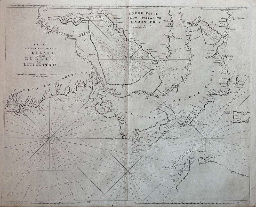
DUBLIN, IRELAND [Sea Chart] by Mount & Page c1753
Copperplate engraved Sea Chart of Dublin area by Mount & Page, printed on handmade paper. Map size: 21.25" x 17.25" (540mm x 440mm). Good condition See pictuers CLICK IMAGE TO ENLARGE.
£
110.00
|
|

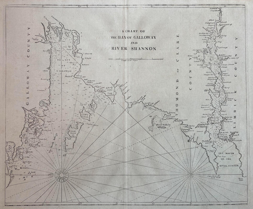
SHANNON, IRELAND [Sea Chart] by Mount & Page c1753
Copperplate engraved Sea Chart of Shannon area by Mount & Page, printed on handmade paper. Map size: 20.75" x 17.25" (525mm x 440mm). Good condition See pictuers CLICK IMAGE TO ENLARGE.
£
110.00
|